Garmin
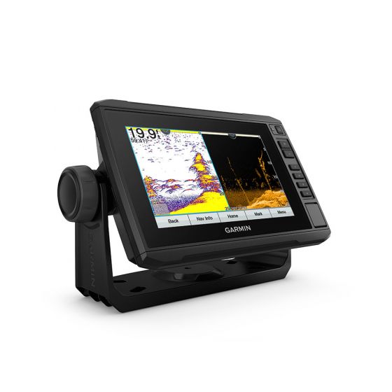
Garmin ECHOMAP UHD 75sv
Garmin ECHOMAP UHD 75sv
Couldn't load pickup availability
- Preloaded Navionics+ charts for the United Kingdom Ireland and Northwest mainland Europe coast
- Share data with other devices on the network
- Manage the marine experience from nearly anywhere
- Control the most powerful trolling motor available
- Create sonar maps on the fly
Take fishing to the next level.
Sonar Support
This chartplotter supports a variety of Garmin transducers (sold separately) including the Panoptix LiveScope™ scanning sonar system which lets you see all around your boat in real time.
Preloaded Mapping
Experience unparalleled coverage and detail with preloaded BlueChart® g3 charts for the United Kingdom Ireland and Northwest mainland Europe coast featuring integrated Garmin and Navionics® content.
Quickdraw Contours
Create personalised fishing maps on-screen with 1’ contours. Keep the data to yourself or share it with the QuickDraw™ Community on Garmin Connect™.
Boat Connected.
Network Capable
If you have multiple compatible ECHOMAP UHD or ECHOMAP Ultra devices on your boat you can share information — such as sonar user data and charts — among them (7” and 9” models only).
NMEA 2000® and NMEA 0183 Networks
Connect to autopilots digital switching weather FUSION-Link™ audio system media VHF AIS and more from one screen.
Activecaptain® App
Built-in Wi-Fi® connectivity pairs with the free all-in-one mobile app for access to the OneChart™ feature smart notifications1 software updates Garmin QuickDraw Community data and more.
Force™ Trolling Motor Compatibility
Take control of the most powerful and efficient trolling motor available2 route it to waypoints follow tracks and more from the screen of your chartplotter.
In The Box
- ECHOMAP UHD 75sv with UK Chart
- Charging/data cable
- Tilt/swivel mount with quick release cradle
- Flush mount
- Protective cover
- Hardware
- Documentation


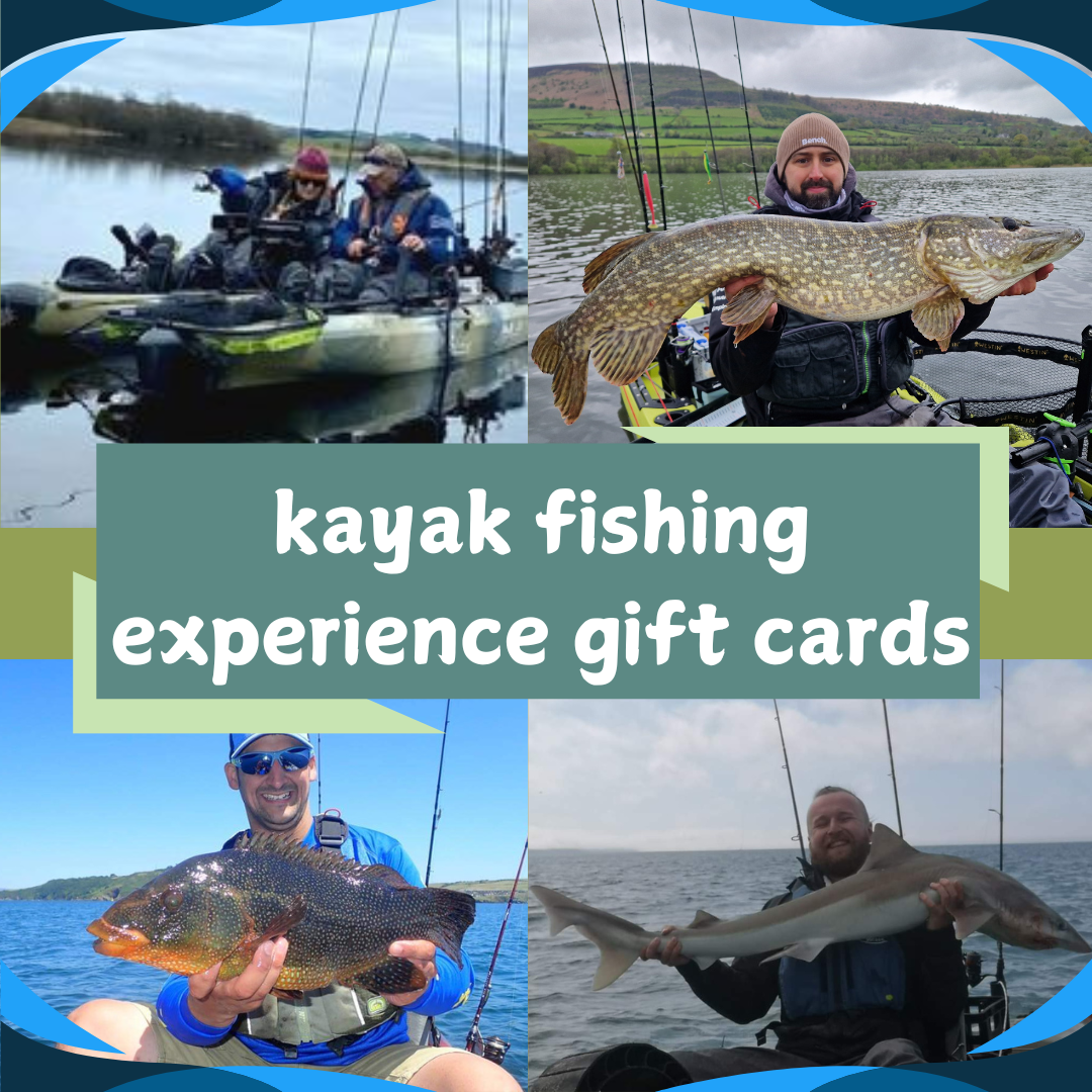
Ontop angling
Ontop angling - kayak fishing experience gift cards
Share